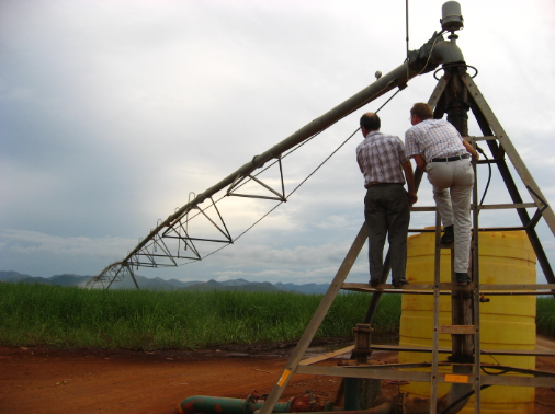
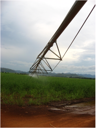
Through the WATPLAN monitoring system WE Consult helped developing equitable and transparent transboundary water management. This is a web accessible monitoring system for the Incomati Basin in the south of Mozambique. The system presents satellite maps of various water accounting parameters on a weekly basis. The maps contain evapotranspiration, evapotranspiration deficit, rainfall, rainfall minus evapotranspiration and biomass production at field and catchment level for the Incomati Basin. These data are available for a number of land use classes, i.e. sugarcane, irrigated crops, forest plantations and natural vegetation. The project provides land owners and other stakeholders with more insight in the hydrological status of their land and supports decision making for irrigation practices.